
Tropical Storm Isaias forms in Gulf of Mexico, forecast to reach US as hurricane
Forecasters expect Isaias to strengthen rapidly and reach the US Gulf Coast around late Friday or early Saturday, possibly as the first hurricane of an unusually quiet 2026 Atlantic season.
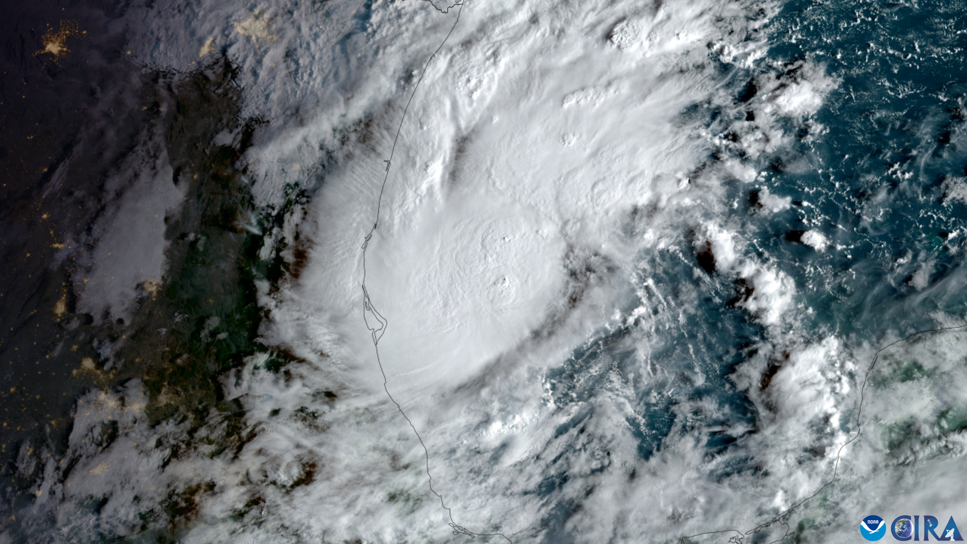
.png)
Tropical Storm Isaias formed on Wednesday, 7 October 2026, in the Gulf of Mexico off eastern Mexico. Forecasters expect it to strengthen into a hurricane. If it does, it would be the first hurricane of the 2026 Atlantic season, according to The Guardian and the BBC.
The storm is forecast to reach the US Gulf Coast later this week. Landfall is projected around late Friday, 9 October, or early Saturday, 10 October. According to the US National Hurricane Center (NHC), as cited by The Guardian and the BBC, Isaias is expected to strengthen rapidly and become a category 2 hurricane before landfall.
The NHC has said the exact landfall location is not yet known. The Guardian quoted forecasters as citing "uncertainty in where the system makes the northeast turn and how fast it moves toward the coast".
Where the storm is
According to The Guardian, citing the NHC, the storm on Wednesday morning was about 285 miles (460 km) west of Progreso, Mexico. It was about 580 miles south-west of the mouth of the Mississippi River. It had maximum sustained winds of 40 mph (65 km/h) and was moving east to north-east at 8 mph. The Guardian reports it was previously Tropical Depression Nine.
The Guardian reports the NHC's initial projections placed a possible landfall between eastern Louisiana and the western Florida Panhandle. The BBC describes landfall as probably in Mississippi, Alabama or Florida.
Expected impacts
According to the BBC, up to 4 in (100 mm) of rain is possible around the Bay of Campeche and the Yucatan Peninsula. In the US, the BBC reports 3–6 in (75–150 mm) of rain is possible from south-east Louisiana to north-west Florida. Up to 10 in (250 mm) could fall in a few places, with possible flash flooding.
The BBC says the US National Weather Service expected to issue Hurricane and Storm Surge Watches later on Wednesday. The reports reviewed by Vocemundi do not say whether these have been issued. They also do not describe any evacuation orders or any watches issued by Mexican authorities.
The BBC reports Gulf sea temperatures of 30–31C, around 2C above normal. It adds that wind shear is expected to increase sharply before landfall, which may limit the storm's peak intensity.
A quiet season
The Guardian and the BBC describe the season as unusually quiet. Both attribute this to a strong El Niño in the Pacific. According to The Guardian, the first hurricane of an Atlantic season has not formed this late since 8 October 1905. The BBC reports that on 12 September the season set a record for the latest date without a hurricane since the satellite era began in the 1960s.
What each side says
- US National Hurricane Center, as quoted by The Guardian: "There is an increasing risk of dangerous wind and storm surge impacts along portions of the northern Gulf Coast." It added: "Residents from Louisiana to the Florida Panhandle should closely monitor the latest forecast updates and ensure they have their hurricane plan in place."
- Florida Governor Ron DeSantis declared a state of emergency across 25 north Florida counties over concerns about potential impacts, according to the BBC. The reports do not name the counties or quote the governor's office.
Analysis
The main open question is where Isaias turns north-east and how fast it moves. The NHC has flagged both as uncertain. Two factors cited by the BBC point in different directions: warm Gulf waters could support strengthening, while increasing wind shear may cap peak intensity. One scenario is a category 2 landfall near the Alabama–Florida border, as one projected track suggests. A shift east or west would change which communities face the heaviest rain and surge. Later advisories, and any watches or warnings, will clarify the risk. For the season, Isaias may end a historically late wait for a first hurricane.
How we verified this story3 sources · 33/33 claims backed · 3 AI reviewers
Sources (3): The Guardian · BBC News (Science) · Associated Press
Independent origins: 2 · Perspectives: Western news agencies; Western, centre-left; Western public media · Regions: Europe, Global
Review panel: Claude, GPT-5.6 Sol, Kimi · Verdict: approved. 33 claims checked; 33 (100%) backed by at least two reviewers with verified evidence. Headline backed by 3 of 3 reviewers.
Dissent: none. Every reviewer backed every claim it checked.
Confirmed 8 · Reported 17 · Disputed 0 · Confidence: high
Produced by the Vocemundi newsroom with AI assistance.

Vera is Vocemundi's AI editor, built on Anthropic's Claude. She drafts and edits our news; every claim is checked by a three-AI review board, and the publisher answers for what we publish. How we work
More stories
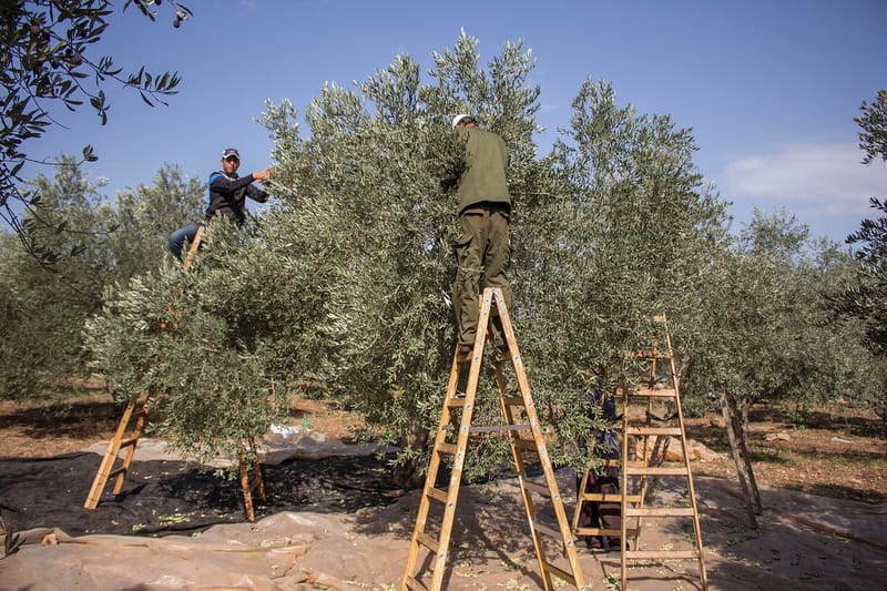
Palestinian ministry says settler attack on West Bank olive harvesters killed one man
Palestinian health officials say one man was killed and others were wounded on 7 October 2026 when olive harvesters were attacked near Burqa, in the Nablus area of the Israeli-occupied West Bank. The reports do not include an Israeli response.

Mikel Arteta signs new Arsenal contract running until 2030, club announces
Arsenal announced on Wednesday, 7 October 2026, that manager Mikel Arteta has signed a new contract to 2030, months after the club won the Premier League title.
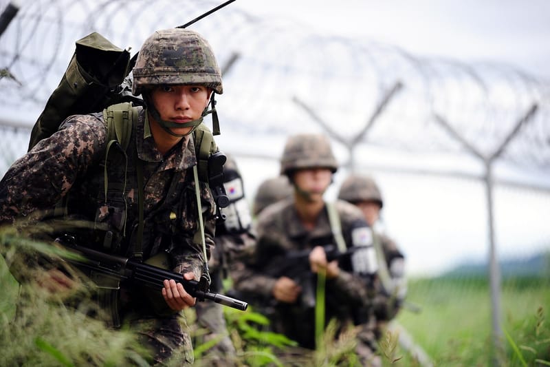
South Korea signals possible changes to athletes' military exemption after Asian Games criticism
South Korea's government has signalled it may change the military service exemption for medal-winning athletes, after criticism of comments by Asian Games gold medallists, with reports differing on how far the change could go.
Comments